Iran strategic geography explains why Iran remains one of the hardest countries to conquer in modern history. Powerful empires and modern superpowers attempted to influence or weaken the country, yet Iran continues to resist foreign control. Iran’s mountains, deserts, strategic waterways, and deep national identity create a natural defensive system. Geography forms massive barriers around the country, while internal unity during conflict strengthens resistance. The Strait of Hormuz also gives Iran enormous strategic leverage over global energy markets.
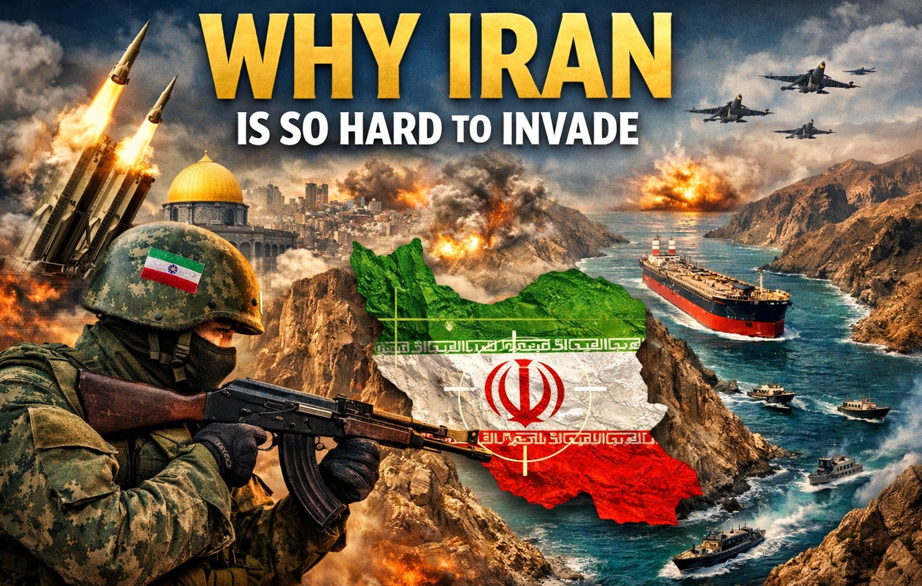
Why Iran Is So Hard to Invade
When you examine Iran’s geography and history together, you understand why foreign invasions rarely succeed and why the nation remains one of the most resilient powers in the Middle East.
Iran’s Geography Creates a Natural Fortress
Iran sits on a massive landmass surrounded by natural defensive barriers. These barriers shape the country into something similar to a giant fortress. Mountains dominate much of the terrain, forming protective walls around large sections of the country.
The Zagros Mountains stretch across the southwest and create a huge barrier against invasions from Iraq and the Persian Gulf. These mountains rise sharply and extend for hundreds of kilometers. Armies moving through these ranges face narrow valleys, difficult weather, and limited supply routes. In the north, the Alborz Mountains protect Iran from the Caspian region. These peaks rise dramatically and block easy movement from northern territories such as Azerbaijan. Armies attempting to cross these mountains encounter steep slopes and unpredictable terrain.
Iran’s eastern borders also contain smaller mountain ranges that stretch toward Afghanistan and Pakistan. These ridges form another defensive ring that restricts rapid military movement. Because of these geographical features, any invading force must move through extremely narrow corridors. Logistics becomes complex and supply lines stretch dangerously thin.
Deserts Inside Iran Add Another Layer of Defense
Iran’s internal geography creates additional challenges for invading armies. Two massive deserts dominate central Iran. The Dasht-e Kavir and the Dasht-e Lut form harsh landscapes where extreme temperatures and dry conditions make long-term military operations extremely difficult. These deserts lack infrastructure and natural resources required for large armies.
Most of Iran’s population lives along mountain edges instead of the central desert regions. Cities and towns sit in locations that benefit from natural protection and strategic elevation. An invading army entering Iran must travel through deserts or mountains before reaching population centers. This delay allows defenders to regroup and prepare counterattacks.
Iran’s geography therefore forces invaders into exhausting campaigns before reaching strategic objectives.
Strategic Importance of the Strait of Hormuz
One of Iran’s greatest geopolitical advantages lies in the Strait of Hormuz. This narrow waterway connects the Persian Gulf to the open ocean and serves as one of the most important energy routes in the world.
A significant portion of global oil exports passes through this passage. Energy shipments from Gulf nations such as Saudi Arabia, Kuwait, Qatar, and the United Arab Emirates rely heavily on this route. Iran controls the northern coastline of the strait. This location allows the country to monitor and influence shipping traffic moving in and out of the Persian Gulf. Even the threat of closing the Strait of Hormuz can disrupt global markets. Oil prices rise quickly whenever tensions increase in this region.
Control of this waterway gives Iran strategic leverage far beyond its borders. Global economies pay attention to developments here because energy security depends on uninterrupted shipping through the strait.
Iran’s Long Coastline and Hidden Defense Positions
Iran possesses a coastline stretching across both the Caspian Sea and the Persian Gulf. The total length reaches thousands of kilometers. Unlike many countries where beaches dominate the coastline, large sections of Iran’s coast include rugged mountain terrain. These mountains overlook the sea and provide natural locations for defensive systems.
Missile batteries and radar stations positioned within these mountains gain significant advantages. Hidden positions make detection difficult for satellites or drones. Naval forces approaching the coastline must operate carefully. Narrow coastal waters and elevated terrain create multiple opportunities for defensive attacks.
Even if an invading navy lands troops on the shore, the soldiers face immediate mountain barriers. Defenders positioned above them gain the advantage of elevation and familiarity with the terrain.
Iran’s Ethnic Diversity and National Unity in Crisis
Iran’s population consists of many ethnic groups. Persians, Azeris, Kurds, Arabs, Baloch, and Turkmen all live within the country. Each group maintains its own language traditions and cultural identity. Managing these differences creates internal political challenges for the government. At the same time, external threats often produce the opposite effect. When foreign pressure rises, many groups unite under a shared national identity.
Religion plays an important role in this unity. A large majority of Iran’s population follows Shia Islam. This religious connection strengthens solidarity during times of conflict. History shows repeated examples where internal disagreements pause once foreign threats appear. This pattern creates a serious obstacle for invaders. External powers often expect internal divisions to weaken resistance. Instead, invasion attempts frequently trigger stronger unity.
The Iran Iraq War Demonstrated Iran’s Defensive Strength
A clear example of Iran’s resilience appeared during the Iran–Iraq War in 1980. Iraqi leader Saddam Hussein believed Iran stood weak after the Islamic Revolution. Iraq launched a large invasion expecting quick victory. Iraqi forces advanced deep into Iranian territory during the early stages of the war.
Iran responded by mobilizing large numbers of soldiers and civilian volunteers. National resistance strengthened rapidly. Within two years Iranian forces pushed Iraqi troops back across the border. The conflict continued for eight exhausting years. The war caused massive casualties on both sides. Yet Iraq failed to capture lasting territory despite the long conflict. This war demonstrated how geography, national identity, and strategic depth combine to protect Iran from occupation.
Strategic Depth Makes Iran Extremely Difficult to Capture
Iran’s size creates another major defensive advantage. The country covers more than 1.6 million square kilometers. Major cities such as Tehran, Isfahan, and Mashhad sit deep inside the country rather than near the borders. Invading forces must travel long distances through hostile terrain before reaching these centers.
Military strategists describe this concept as strategic depth. As enemy forces move deeper into the country, supply routes become longer and more vulnerable. Fuel, equipment, and reinforcements must travel greater distances. Defensive forces gain time to organize counterattacks.
Even powerful armies struggle under these conditions. Logistics failures often determine the outcome of long wars. Iran’s terrain therefore acts like a silent defender. Time itself becomes a weapon against invading armies.
Why Major Powers Struggle to Control Iran
Many powerful civilizations interacted with Iran across centuries. Empires from Europe, Asia, and the Middle East attempted influence or intervention. Despite these efforts, long-term occupation rarely succeeded. Geography prevented rapid conquest while cultural identity maintained national cohesion.
Modern powers recognize these realities. Military planners understand that direct invasion would involve enormous risks and uncertain outcomes. Instead of direct confrontation, outside powers often rely on diplomacy, economic pressure, or regional alliances. Iran’s geographic fortress, strategic waterways, national identity, and enormous territory combine to form one of the most resilient states in the region.
Final Thoughts on Iran’s Defensive Strength
Iran stands as a powerful example of how geography shapes global politics. Mountains, deserts, coastlines, and strategic waterways form natural protection around the country. History repeatedly shows how these features complicate foreign military campaigns. External pressure often strengthens internal unity rather than weakening it.
When you examine Iran through the lens of geography and strategy, one conclusion becomes clear. Conquering the country requires overcoming natural barriers, logistical nightmares, and a population that often unites when faced with outside threats. These factors explain why Iran continues to remain one of the most difficult nations in the world to invade.